Built for the Walk, Not the Office
Every capability in AnchorLink exists to save a trip back to the rig — here's what's actually happening under the hood.
The Capture Screen
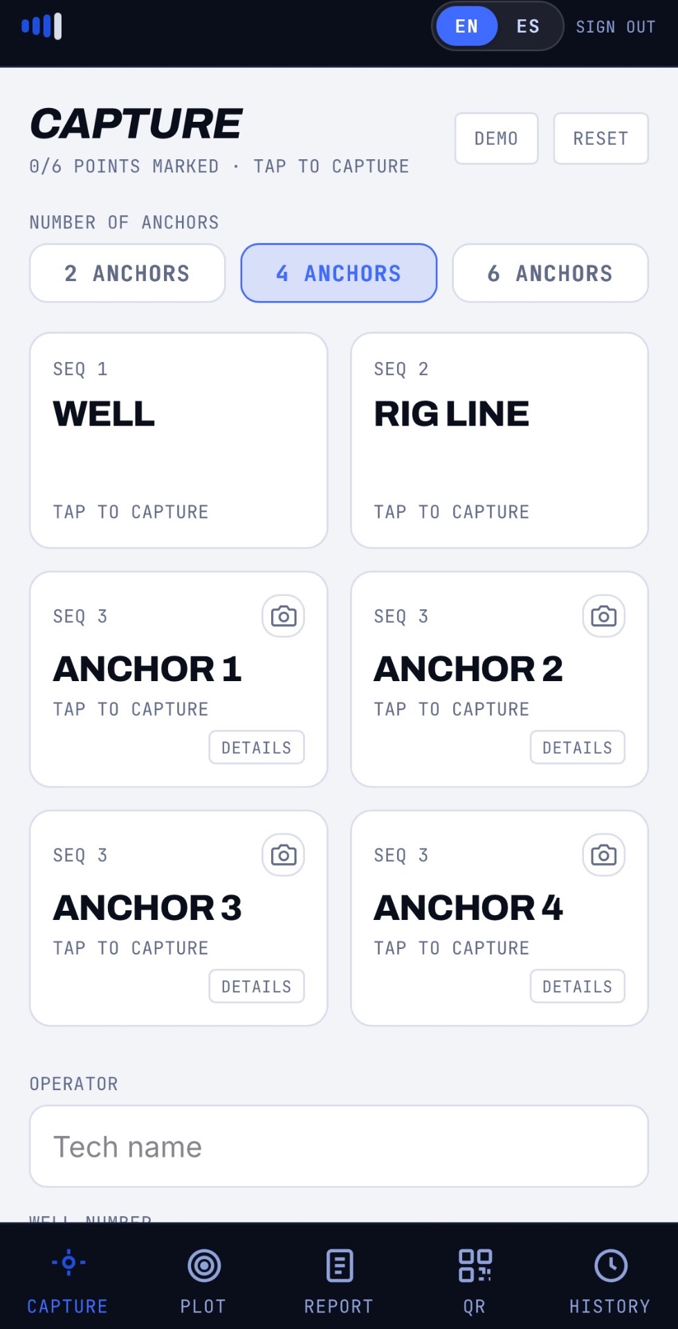
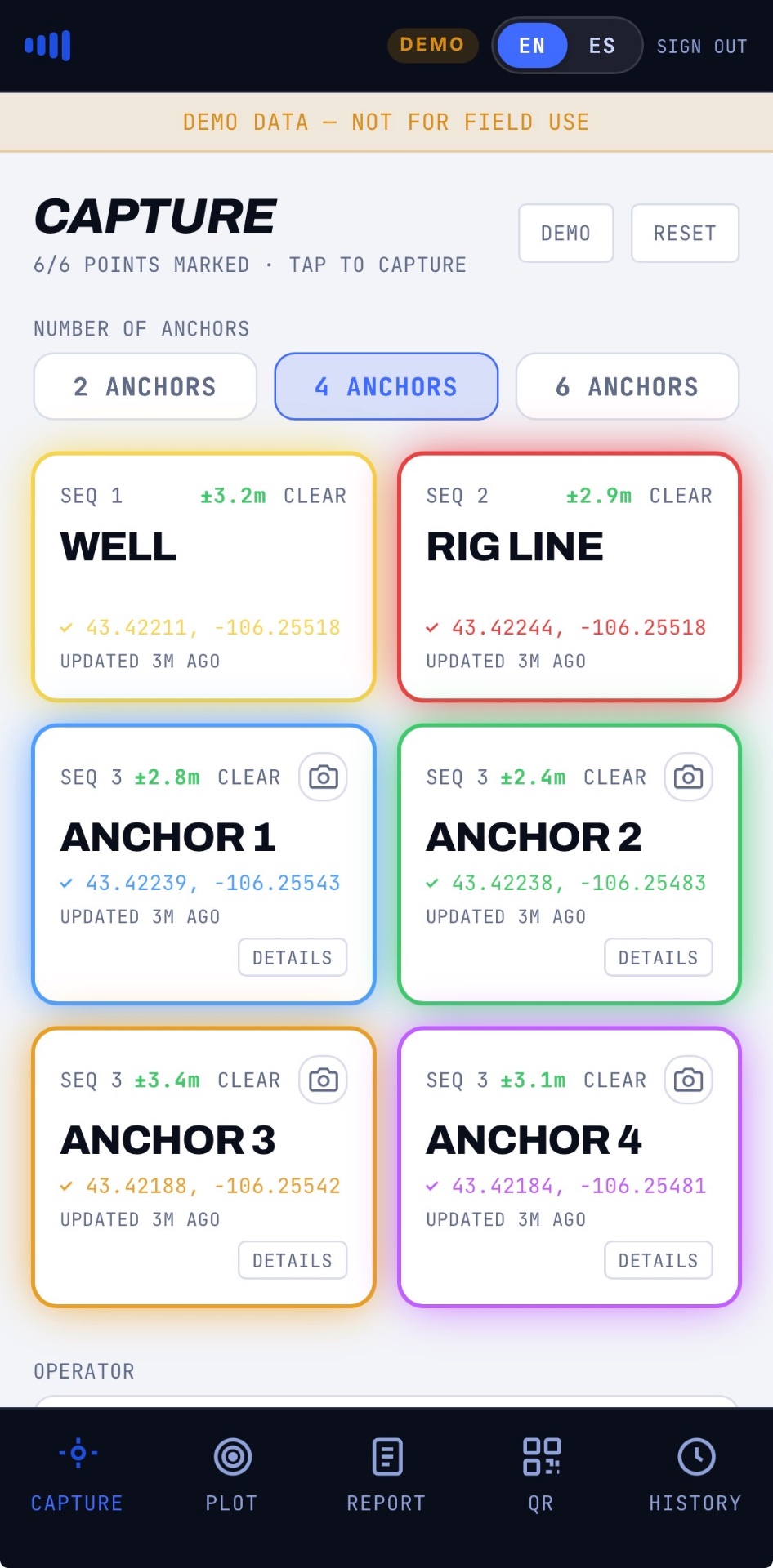
Every anchor for this rig-up lives on one screen. Pick your pattern, watch the sequence count down as you go, and see live GPS accuracy the moment a point locks in — right there on the card.
Anchor Details
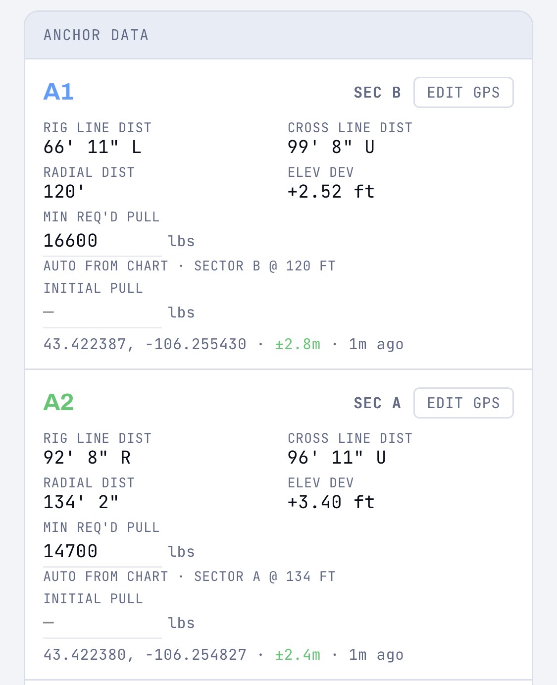
Every anchor defaults to PSA (Portable Surface Anchor). Tap Details on any card to switch to Earth Anchor, or log Serial Number, Test Date, Minimum Required Pull, Initial Pull, and Certification Info — right from the field.
6-Tap Field Workflow
Walk the rig, tap each point — WELL, RIG LINE, and every anchor. Audio and ripple feedback confirm each capture in real time, so you always know a point locked in before you move to the next one. No second-guessing, no re-walking the pattern. Just make sure each anchor's details are set first — they lock the moment a location is captured.
Calibrated Chart Overlay
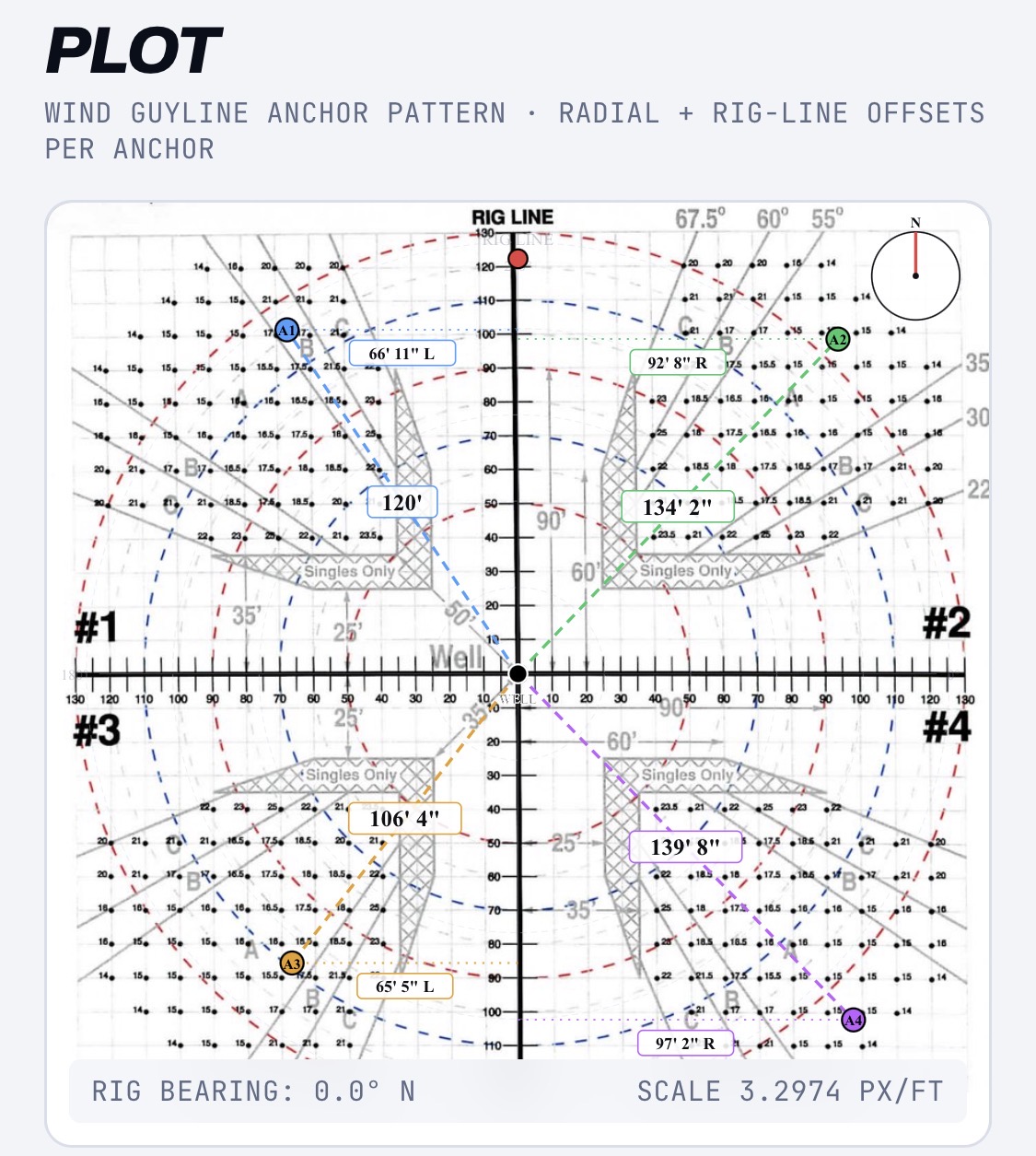
Your GPS taps get plotted directly onto the real guyline anchor chart, scaled to the exact distances you captured in the field. What used to be a hand-sketched diagram is now a chart your office can trust at a glance.
Radial + Rig-Line Offsets
Every anchor logs two measurements automatically — radial distance and rig-line/cross-line offset. Elevation deviation is calculated per anchor too, so grading questions get answered before you leave.
One-Tap PDF Report
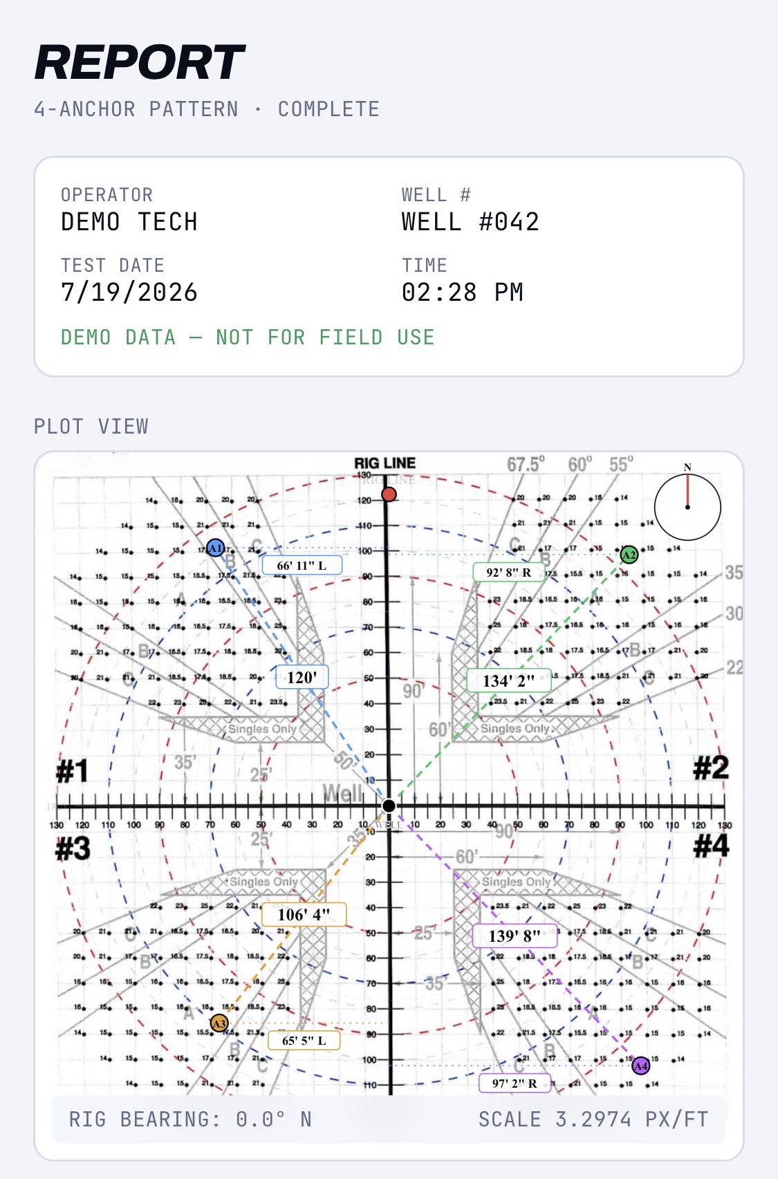
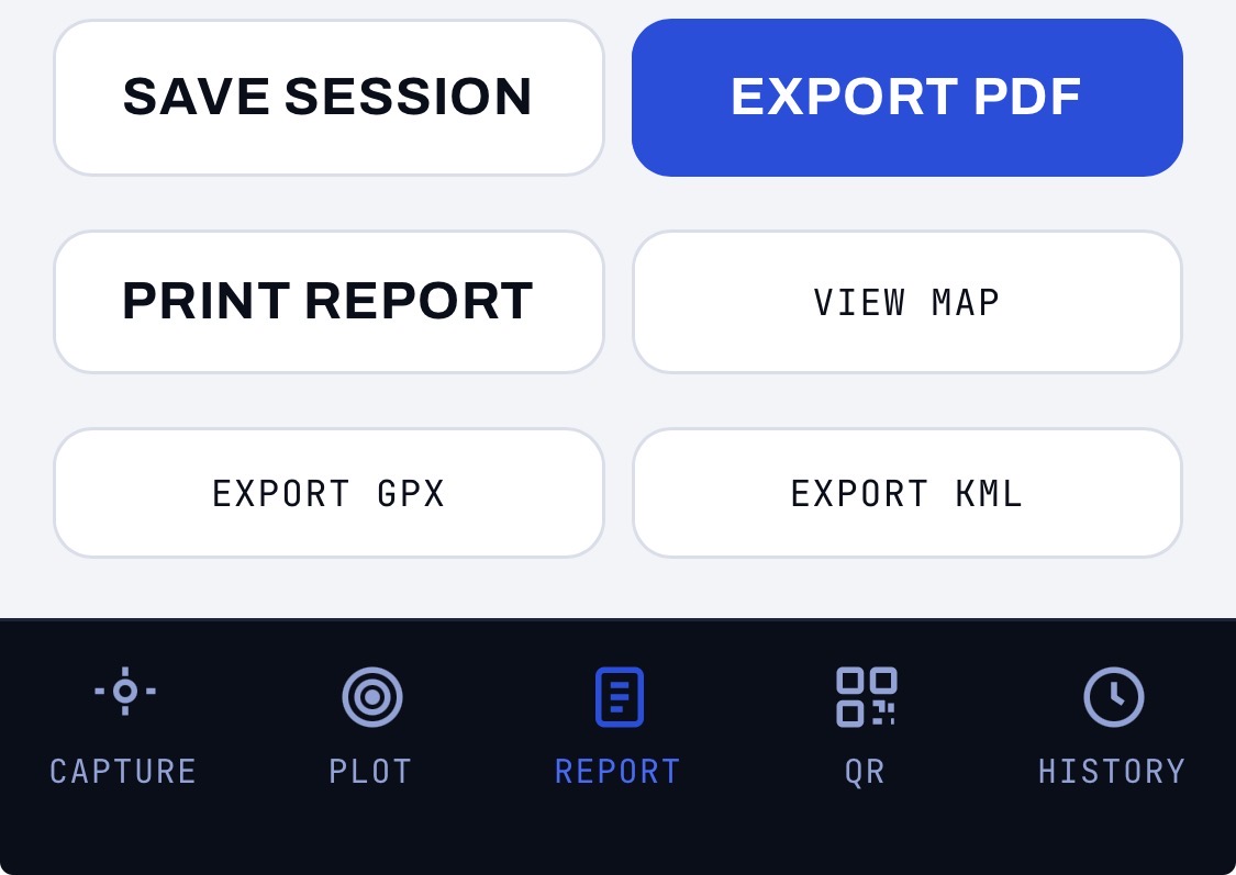
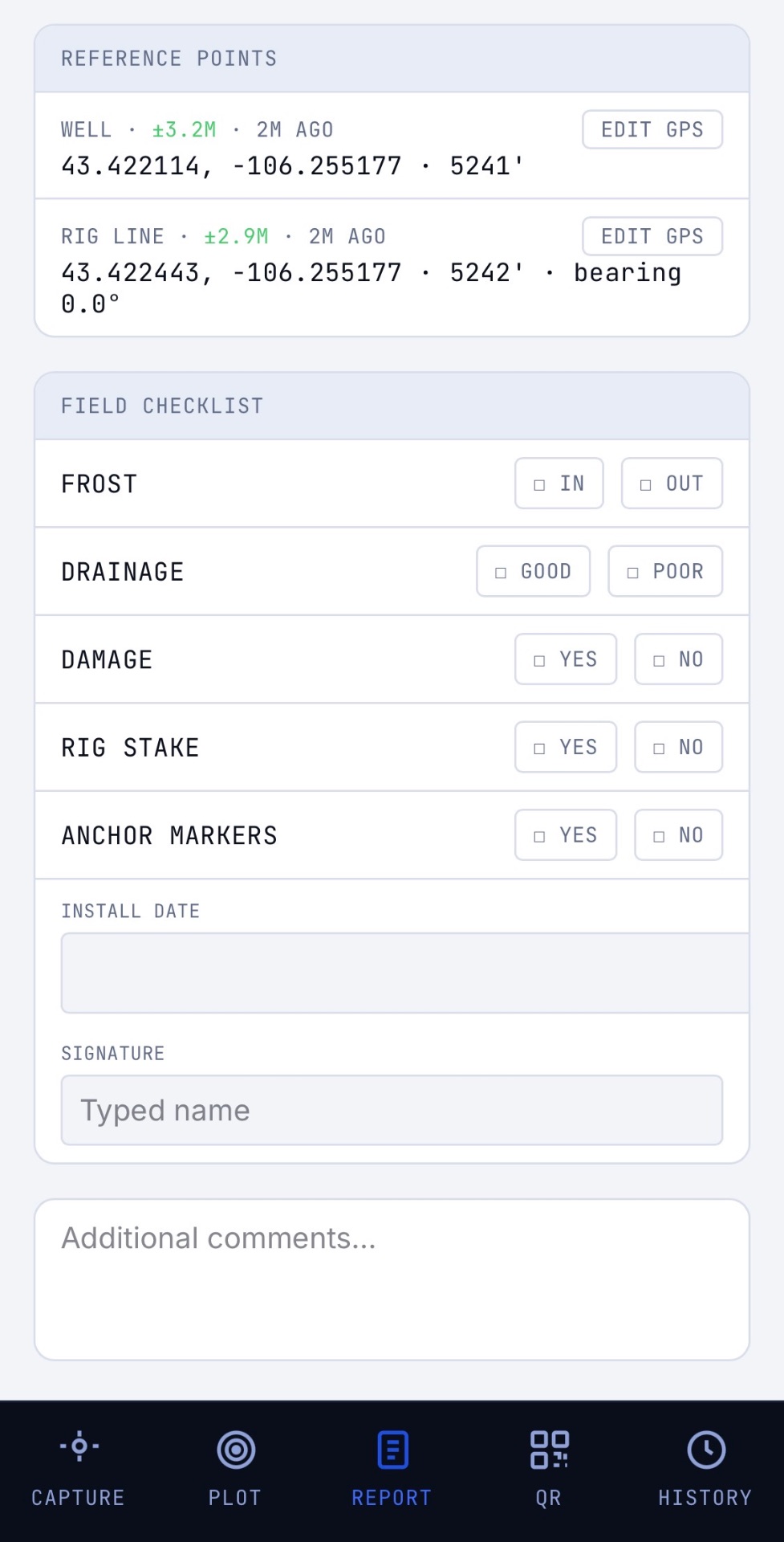
The report builds itself from the data you already captured — no transcribing notes back at the office. Export a branded PDF, print it on site, or pull GPX/KML for Google Earth, all from the same screen.
Accuracy You Can See, Not Just Trust
Every captured point shows a live accuracy badge in meters — green for ≤5m, amber for 5–15m, red for anything looser. If a point isn't tight enough, you'll know on the spot, not after you've already left the rig.
QR Traceability, Google Maps, and Full History
Print a QR label sheet that ties each physical anchor back to its GPS pin and pull-test data. Every past session is viewable as labeled pins over satellite imagery, and searchable in cloud history whenever an audit or a callback comes up — months later, not just same-day.